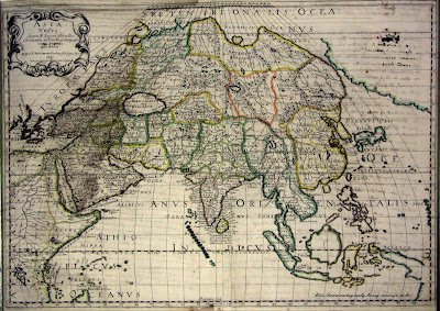
Another solid map today.

The contributor describes the map as follows:
This is an
Ortelius map. For an excellent explanation on these maps, see the website of Marcel van den Broecke, http://www.orteliusmaps.com/index.html
The translations of the text on this map are reproduced from his website with his approval:
This is the map entitled TRANSILVANIA (cartouche bottom left:) HANC VLTRA VEL TRAN/SILVANIAM, QVÆ ET PANNO/DACIA, ET DACIA RIPENSIS, VVL:/GO SIBEMBVRGEN DICITVR,/ edidit Vienne Ao 1566 Nobiliss. atque Doctiss. Ioannes Sambucus Pannonius.
The translation is: “This is Transilvania and beyond
Transylvania, also called Panno-Dacia and Dacia Ripens, vulgarly called Siebenbergen, drawn in Vienna in the year 1566 by the very noble and learned Ioannes Sambucus from Pannonia”.
Centre bottom: Vallis Hatzag Vbi olim ciuitas Sarmisgethusa. Translation is: “The valley of Hatzag, where once the Sarmisgethusa lived.” If you google that name up, you get a reference to
Sarmizegethusa (King's Seat) of Gradistea Munselului, in southern
Rumania, this was the royal capital of the
Dacian State. It is situated at a height of 3.940 feet (1.200 m) on terraced slopes deep among the southern
Carpathian Mountains.
Cartouche lower middle right with four lines of text: "H..Litera in hac tabula/nonnullis vocabulis/adiuncta significat/ea esse Hungarica. Translation: “The letter H added to some names on this map means that these are Hungarian.”
Plate size: 326 x 451 mm
Scale: 1 : 500,000
Identification number: Van den Broecke Ort 153
The map occurred in various Theatrum editions, from 1575 through 1609.Approximate number of copies printed: 6500.
Cartographic sources: Sambucus 1566, itself based on Honter 1532


